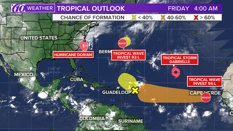
CHARLOTTE, N.C. — Hurricane Dorian is heading out to sea after making landfall over Cape Hatteras around 8:35 a.m. Friday morning.
By 4 p.m., the last rain bands from Hurricane Dorian were moving away from the Outer Banks of North Carolina. The storm left behind a wake of damage and a continuing flood threat.
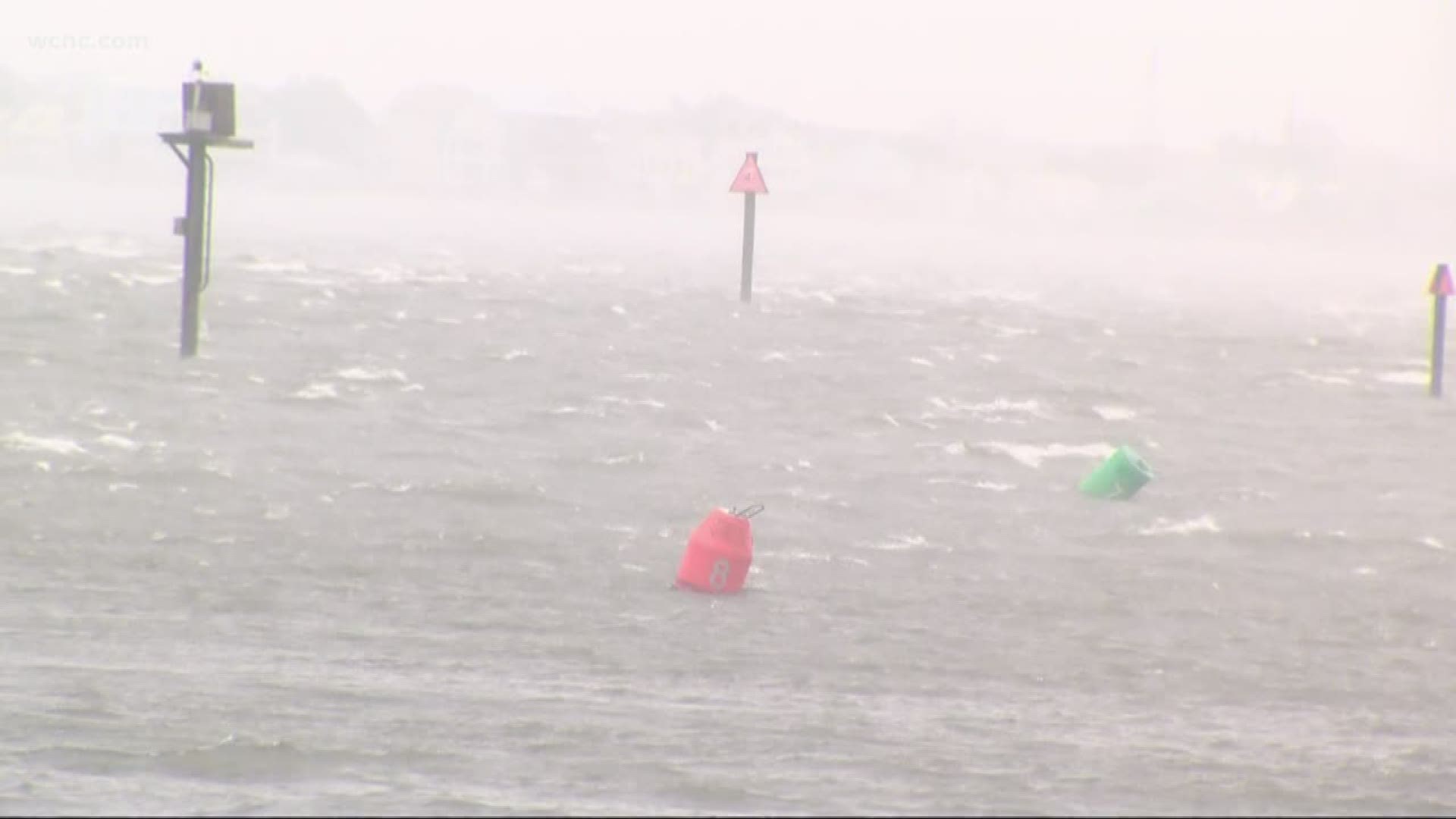
Dorian's storm surge and heavy rain triggered flooding in communities still recovering from the devastation left by Hurricane Florence last year.
As of 8 p.m. Friday, Dorian was a Category 1 hurricane with sustained winds of 90 mph and was about 275 miles south-southwest of Nantucket, Massachusetts.
According to the North Carolina Emergency Management, Hurricane Dorian produced an estimated 13 tornadoes as it ripped through the Carolinas on Thursday.
The National Weather Service will have to go out and scan the area to confirm that number at a later date. Numerous reports of a tornado touchdown were reported Thursday.
The National Hurricane Center reported Dorian's eyewall passed across the Outer Banks and wind gusts as high as 96 mph were reported on Cedar Island.
Dorian was moving toward the northeast near 24 mph and is expected to continue with an increase in forward speed through Saturday, according to the National Hurricane Center.
Dorian was forecast to become a post-tropical cyclone with hurricane-force winds by Saturday night. However, North Carolina Governor Roy Cooper said residents should still stay vigilant.
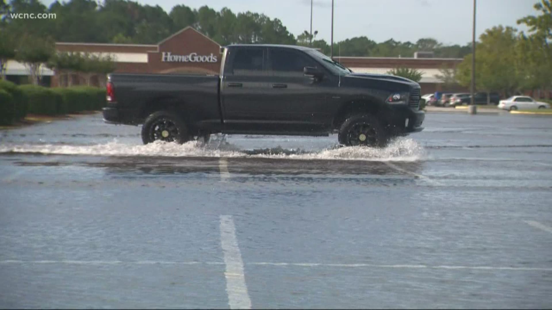
"There's still a high risk of flash flooding in eastern North Carolina. Don't drive on roads covered in water," Cooper said.
Four deaths have been attributed to the storm in Florida and North Carolina. All of them involved men who died in falls or by electrocution while trimming trees, putting up storm shutters or otherwise getting ready for the hurricane.
On Thursday, the storm brought tornadoes, heavy rain, and high winds to the area.
Despite being downgraded from a Category 3, the storm's impact for the Carolinas remained the same Thursday, according to Chief Meteorologist Brad Panovich.
"It doesn't really change the impacts at all," Panovich said. "It's really not that big of a deal; we're talking about 5 miles per hour."
However, the risk of tornadoes ramped up on Thursday.
The National Weather Service reported multiple touchdowns across southeastern North Carolina and northeastern South Carolina. Panovich said the tornado threat will continue throughout the day.
"It causes things to spin up ahead and northeast of the storm," Panovich said. "So everything ahead and to the right of Dorian on the map will have a big threat."
Late Thursday afternoon, North Carolina Gov. Roy Cooper said 68 shelters had been opened with about 2,200 people in them. Food and water were distributed to communities, and many areas were enforcing curfews.
"If your area is feeling the impacts of Dorian, please stay home and safe. Don’t drive through standing or moving water," said Governor Cooper. "We are feeling the storm’s force, but it has only started. We have a long night ahead of us."
Cooper said more than 500 National Guard soldiers had been activated, and the state had more than 200 vehicles, boats, and crews ready for rescue missions in eastern North Carolina.
"Remember these tips: Don't drive on flood-covered roads. Obey barriers when present. Don't run generators indoors. Be wary of carbon monoxide poisoning," said Cooper.
Parts of North Carolina near Wilmington saw 9-inches of rain and tornadoes, according to Cooper.
South Carolina Governor Henry McMaster tweeted that President Trump called to check in and offered any assistance that was needed.
The National Weather Service in Wilmington shared a video from Pender County where a tornado touched down near a fire department Thursday morning. There were multiple tornado warnings issued in coastal areas as the outer bands of Dorian move across southeastern North Carolina.
Panovich said the storm will cause sound-side flooding when it reaches the Outer Banks and affect areas that were devastated by Hurricane Florence, such as New Bern and Havelock.
"The wind is pushing the water up against these beaches, heading north as you go up toward Wrightsville and Carolina Beach, you're likely seeing the highest storm surge. If it's coinciding with high tide, that's when you have the biggest flooding," Panovich said.
Latest conditions
As of 8 a.m. ET advisory from the National Hurricane Center
LOCATION: ABOUT 160 MILES SOUTHWEST OF NANTUCKET, MASSACHUSETTS
MAXIMUM SUSTAINED WINDS: 85 MPH
MOVEMENT: NORTHEAST AT 2425 MPH
There was some good news for those that are inland, as Panovich said Dorian wasn' a major wind event. The impacts were spread further out, but the highest impact was on the immediate coast.
"Most of the wind gusts in our area were 30-35 mph," said Panovich.
Dorian was expected to reach the Outer Banks Friday morning, with possible landfall near Hatteras.
On Sunday evening, South Carolina Gov. Henry McMaster issued mandatory evacuations for people living along the coastline of South Carolina. State troopers began the reversal of all lanes on I-26 out of Charleston Monday morning with evacuations taking effect at 12 p.m.
"Water, water, water is our concern," said Panovich, urging anyone told to vacuate to listen. "You run from the water; you hide from the wind."
North Carolina issued a state of emergency ahead of potential impacts from Hurricane Dorian. South Carolina Governor Henry McMaster also declared a state of emergency because of the storm threat.
On Saturday, the city of Charleston declared a state of emergency as well to ensure the city was fully prepared for emergency operations. The Municipal Emergency Operations Center activated Sunday at 8 a.m. and will remain open as needed throughout the storm.
INTERACTIVE MAP: Track Hurricane Dorian
By midday Thursday, coastal residents in Georgia and some South Carolina counties were allowed to go home.
Still, South Carolina Gov. Henry McMaster warned of new dangers ahead.
"Don't be surprised if there was water in your home. You might have animals, snakes. You don't know what might be in there, so be very careful as you return," he said.
Watches and warnings
A Hurricane Warning is in effect for...
* Eastern Nova Scotia from Hubbards to Avonport
A Hurricane Watch is in effect for...
* Southwestern Nova Scotia from Avonport to Hubbards
* Prince Edward Island
* Magdalen Islands
* Southwestern Newfoundland from Parson's Pond to Indian Harbour
A Tropical Storm Warning is in effect for...
* Woods Hole to Sagamore Beach MA
* Nantucket and Martha's Vineyard MA
* East of Bar Harbor to Eastport ME
* Prince Edward Island
* Southwestern Nova Scotia from Avonport to Hubbards
A Tropical Storm Watch is in effect for...
* Fundy National Park to Shediac
* Parson's Pond to Triton
* Indian Harbour to Stone's Cove
"Residents in these areas should ensure that they have their hurricane plan in place and not focus on the exact forecast track of Dorian's center," according to the National Hurricane Center.


