ST. PETERSBURG, Fla. — Hurricane Ian dumped a tremendous amount of water across the Florida peninsula — in excess of a foot of rain in many locations.
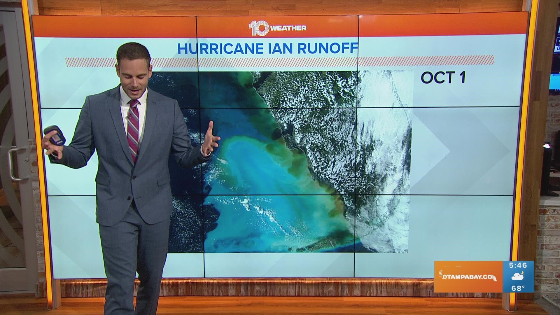
It's been a slow process to get rid of that water, which pushed rivers past their limits and beyond their banks. Now, the view from space shows much of that flooding rainfall making its way back to the Gulf of Mexico.
Astronaut Bob "Farmer" Hines tweeted a photo from the International Space Station showing Florida appearing to "shed" its excess water. The picture, he says, was taken about two days after Hurricane Ian made landfall on Sept. 28.
The view from space shows some of the brown, murky water — the runoff — emptying into the Gulf of Mexico from southwest Florida. It's easy to spot with the darker color mixing into the teal color.
That teal appears to show some of the runoff and how much Hurricane Ian, with maximum sustained winds reaching 155 mph, churned up the relatively shallow water of the Gulf.
The Weather Prediction Center said that since 2005, Ian ranks No. 3 in terms of aerial coverage of 10 inches of rain or greater for a 24-hour period — just behind days two and three from Hurricane Harvey in 2017.
Hurricane Ian, the WPC said, covered about 3,532 square miles (9,149 square kilometers) of at least 10 inches of rain on Sept. 29.

