
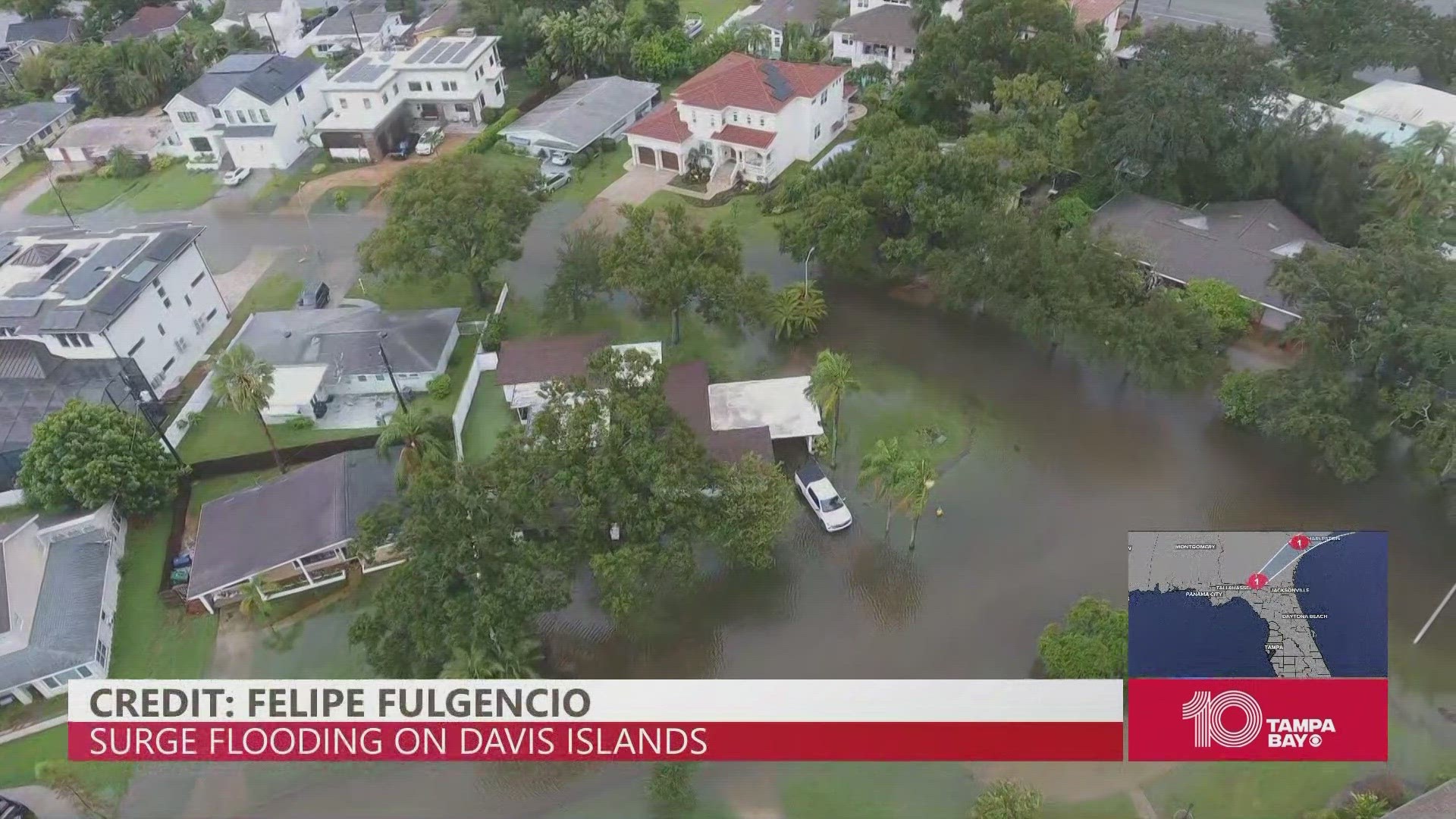
TAMPA, Fla. — Aerial drone footage of Tampa's Davis Islands shows ponds and rivers of floodwater on top of yards after Hurricane Idalia made landfall in Florida's Big Bend region Wednesday morning.
The drone video sent to 10 Tampa Bay by viewer Felipe Fulgencio shows massive flooding throughout the Davis Islands, only one part of many across the Tampa Bay area that took on flooding as storm surge crest levels reached up to 9 feet in some parts.
Meteorologist Mike Prangley reported St. Petersburg saw a surge crest of 4.7 feet and Clearwater Beach recorded a surge of 4.8 feet, while just over an hour's drive up the coast in Crystal River, Prangley said surge levels crested at 9 feet.
As the waiting game now begins for Hurricane Idalia's floodwaters to recede, officials are still urging people not to venture into pools of standing water due to the potential spread of waterborne illness and disease.
With the worst of the storm moving east, bridges and major roadways that had been shut down in Tampa are beginning to reopen, as officials say they are frequently assessing any outstanding dangers to the public.