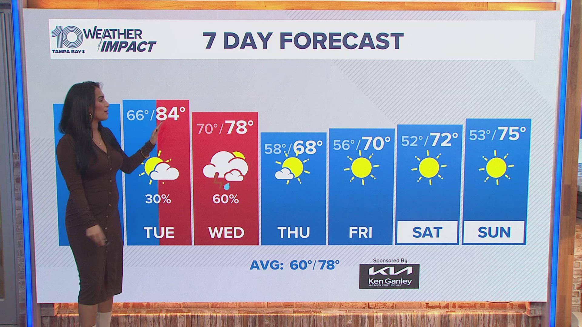
ST. PETERSBURG, Fla. — We are no strangers to those daily rain chances here in central Florida. After all, we're well in the middle of the rainy season, which typically lasts from late May through mid-October for Tampa Bay. However, higher rain chances are on the way and could be heavier for some spots more than others.
Tropical moisture will really begin to increase through the second half of the week. As the heat of the day begins to build each morning and afternoon, scattered to widespread showers and storms will become likely. High rain chances will remain in the forecast through the weekend.

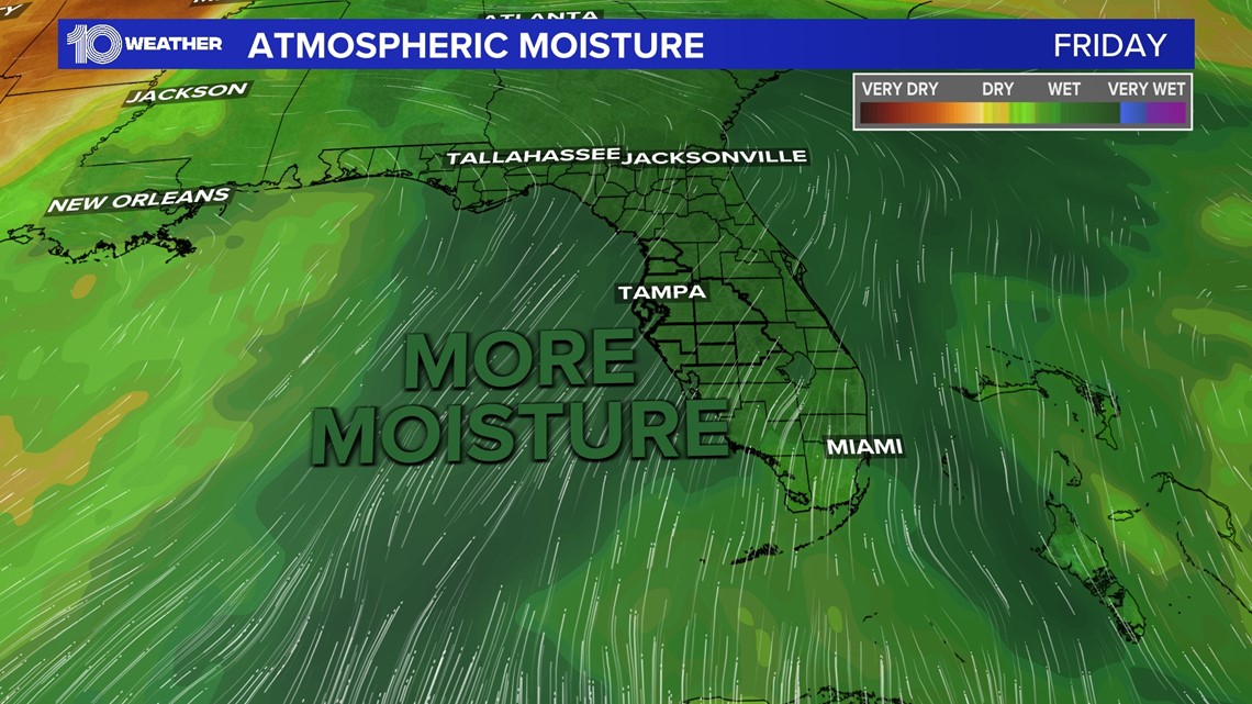
A key player in this pattern change is thanks to a frontal boundary stalling out over north Florida, which will keep the abundant tropical moisture in place through this weekend and into early next week.
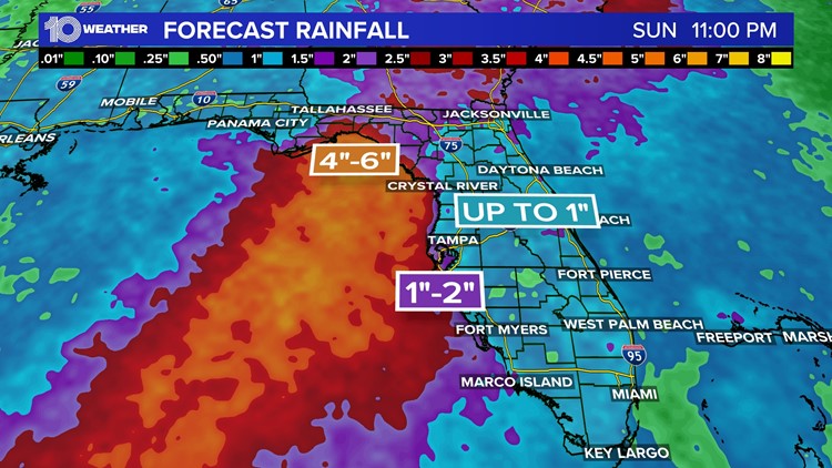
One detail that has been slightly more difficult to iron out is just how far inland will those heavier downpours be able to drift once they move onshore from the Gulf of Mexico. Rainfall forecasts continue to keep the highest totals mostly over the Gulf of Mexico. However, since the rain will move onshore each day, some of those heavy amounts are likely to impact areas along the coast, before becoming more scattered and spreading out across the state.


As it stands, areas along the coast and west of I-75 can expect to receive up to 2 inches of rain between Thursday through Sunday, with isolated 3 inches of rain possible. Slightly lower amounts will be likely east of I-75, while significantly higher totals remain to our north, near the Nature Coast and across the Big Bend area.
We are also monitoring the potential for excessive rainfall that could prompt flooding concerns. This would happen in areas where rainfall rates reach 1-3 inches per hour, prompting either a flood advisory or flood warning.

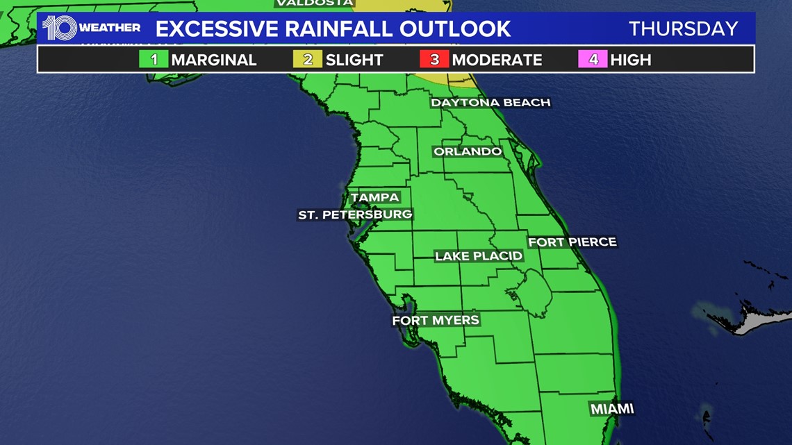
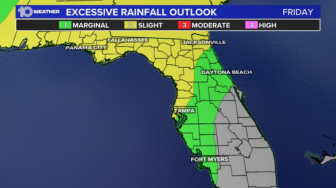
Thursday brings a "marginal" risk for excessive rainfall across much of the area, but some coastal spots, especially to our north can expect a "slight" risk for excessive rainfall on Friday.

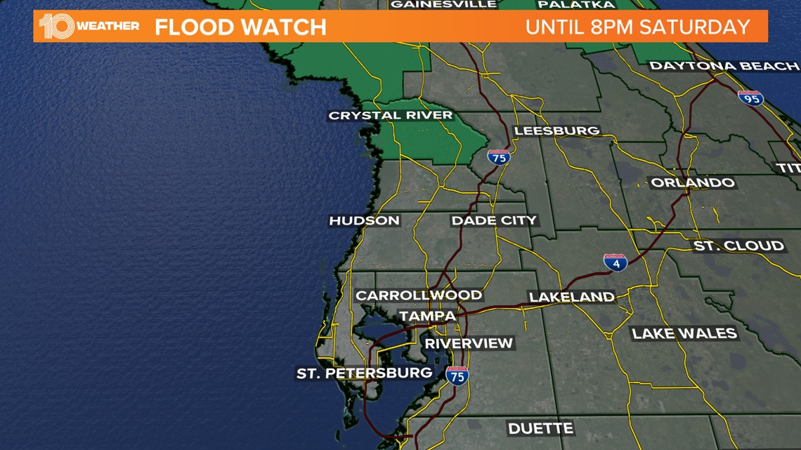
Currently, there's a flood watch in effect through 8 p.m. Saturday for Citrus and Levy counties.

Our increased moisture will remain stubborn in place into early next week before the chance of rain finally begins to decrease a bit by the middle of next week.

