ST. PETERSBURG, Fla. — As we head into the warmer and more humid Florida months, there's nothing like a late-April cold front to briefly shake things up.
Here's the setup: An upper-level disturbance zooming up the eastern seaboard Monday brings a weak cold front into the state. There is enough instability and moisture pooling ahead of the front to support a few showers and storms Monday evening, mainly in our interior counties and in southeast Florida.
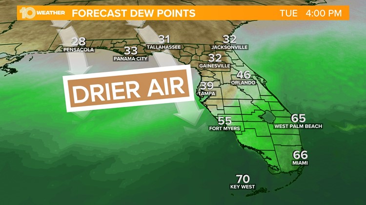
High pressure quickly builds in behind the front. That sinking air keeps the rain out of here, and winds driving in from the north will bring much drier air into the area through the day Tuesday and Wednesday.
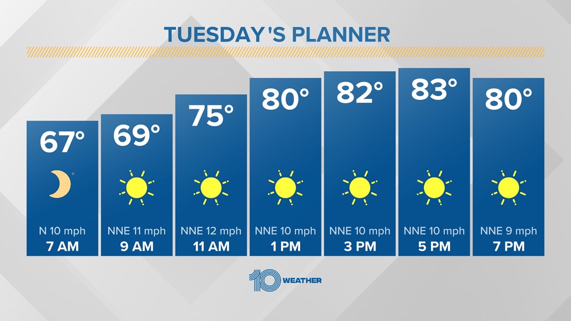
Sunshine will remain in abundance as high pressure remains in control of our weather for most of the week.


While air temperatures will not change much, the air will feel a lot more comfortable as dew points drop from upper 60s (uncomfortable) to 40s. Tuesday and Wednesday will be great mornings to open up the windows and air out the home.


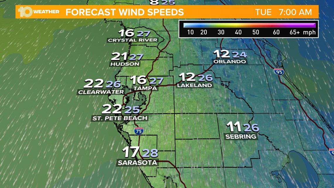
One downside to this forecast? If you guessed winds, you've guessed correctly. The pressure gradient, or change of air pressure with distance, tightens up this week, resulting in gusty winds up to 30 mph.
If boating is in your plans this week, check the forecast before heading out on the Bay. A small craft advisory is in effect Tuesday as waters will be choppier than normal.
This combination of lower relative humidity, dry fuels and gusty winds in the wake of the cold front increases the fire danger risk this week. Be mindful when burning or working with machinery that easily sparks.


