ST. PETERSBURG, Fla. — The rainy season looks to make its return next week to the Tampa Bay area following a stretch of abnormally dry weather.
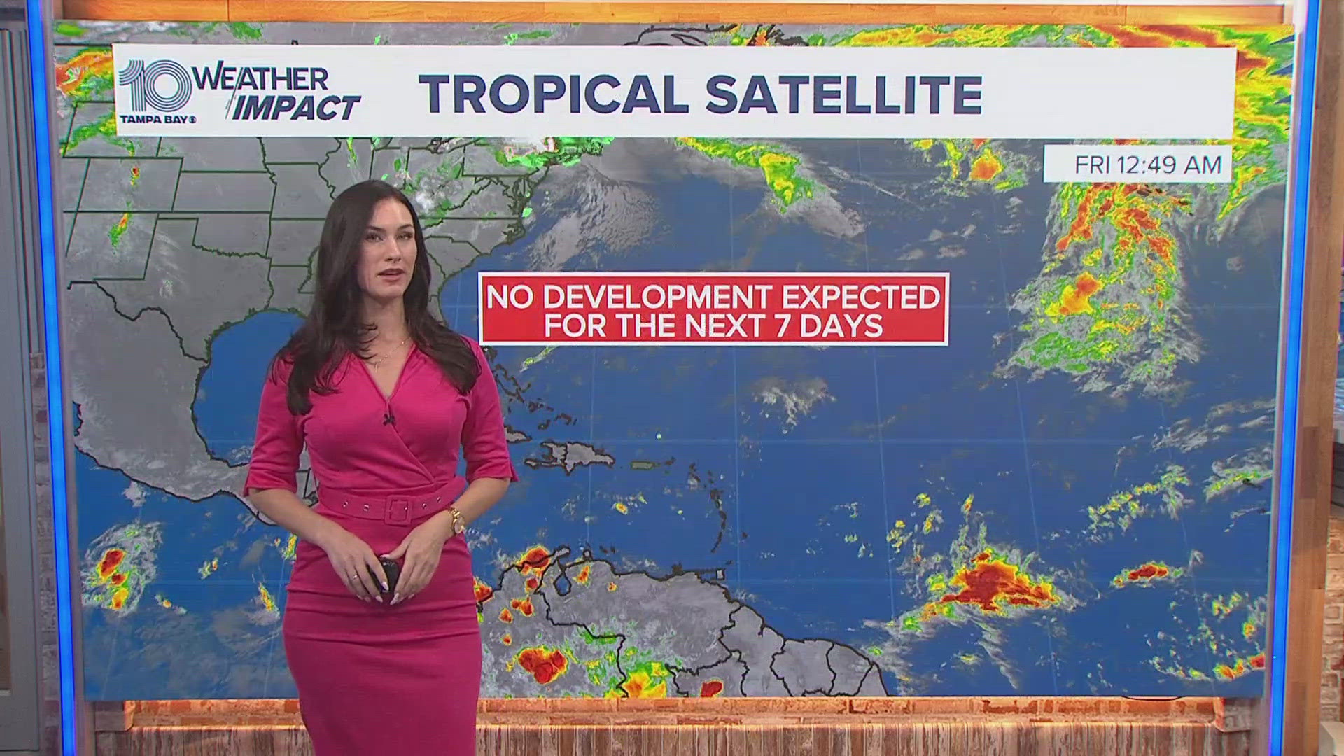
It's good news for a region needing some much-needed rainfall, however, it may also coincide with the development of a tropical system in the Gulf of Mexico. At this time, there's no need for alarm — just a reminder that hurricane season is underway and, at the very least, a much wetter week looks likely.
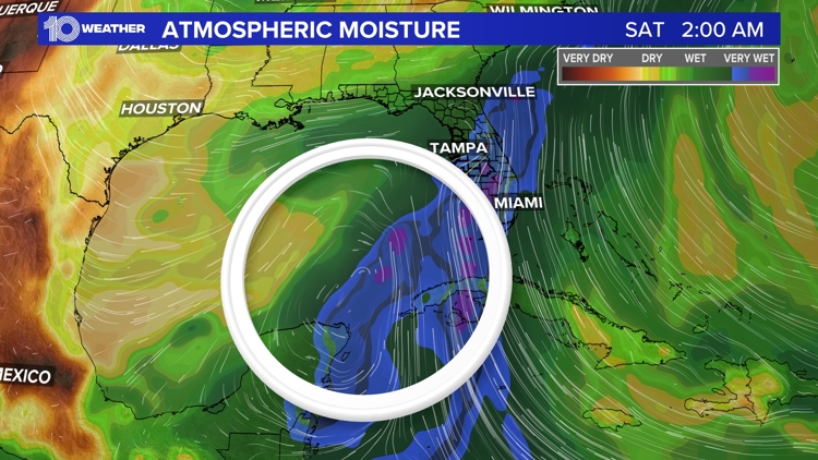
The major change in our weather pattern is set to begin Tuesday. Abnormally dry to severe drought conditions have been observed, so increased rain chances will help. Weather models currently show an area of low pressure and a plume of moisture from the Caribbean Sea entering into the Gulf and moving toward Florida.
Typically in June, a common weather pattern called the Central American Gyre forms over Central America. It can last weeks and it and, at times, spin off a tropical system. Storms in the past that have formed from this pattern include Claudette in June 2021 and Cristobal in June 2020.
This plume of tropical moisture is expected to move over Florida. We know humidity is one of the three key ingredients to getting more storm and rain chances. We need heat, moisture and lift to get sizable rain chances to end this drought. With the surge of moisture coming by midweek, rain chances will increase from 50% up to 70%.
Expect scattered storms across the area next week, and we'll finally see more of a typical or traditional rainy season pattern return.


