TAMPA, Fla. — It has been all sunshine and very little rain over the last few weeks across the Tampa Bay area. While we expect drier conditions this time of year, with El Niño forecasted to hold through winter, the hope is for above-average rainfall.
That would be a big step in the right direction before heading into wildfire season in the spring.
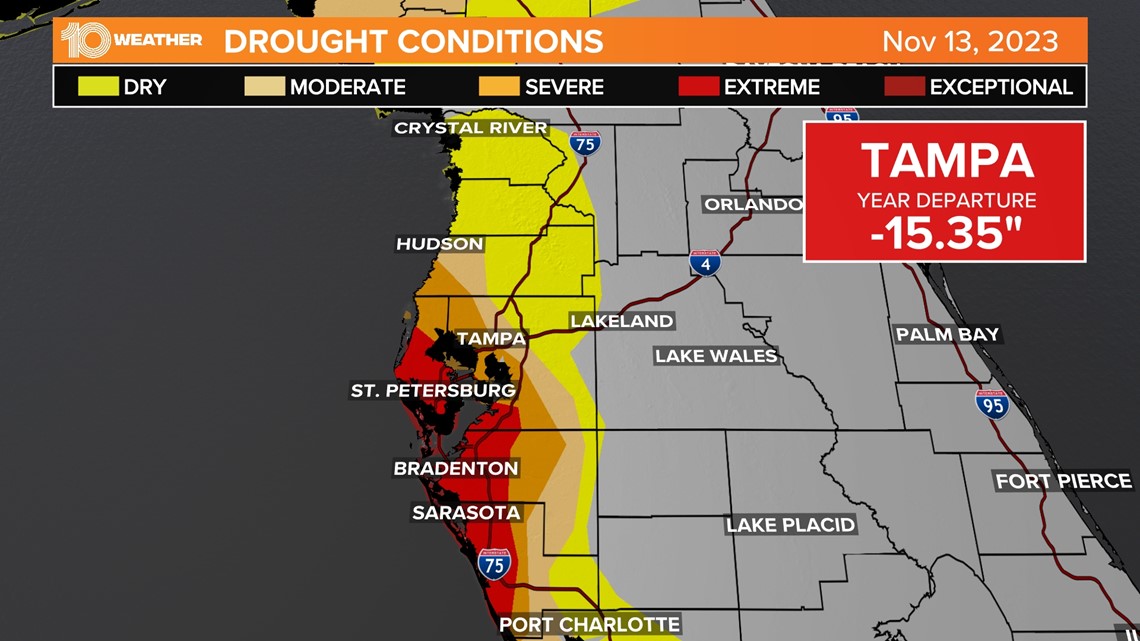
For now, the wait for a rainier pattern will continue as the latest drought monitor shows a slight increase in drought conditions across Florida. The Florida Panhandle and the West Coast of Florida continue to be the driest parts of the state.
The extreme drought near Tampa Bay is due to the stubborn west flow we had for most of the summer, which pushed afternoon storms inland and toward the East Coast all rainy season. That is why those areas are experiencing no drought at all.


Where do we go from here? The short-term forecast
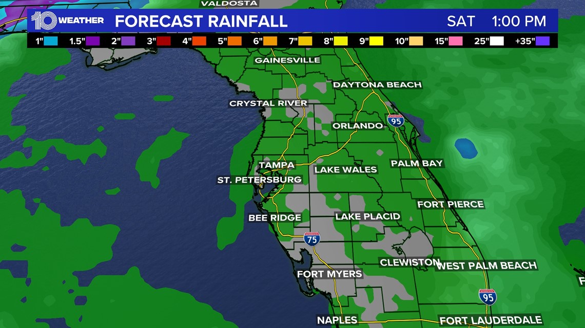
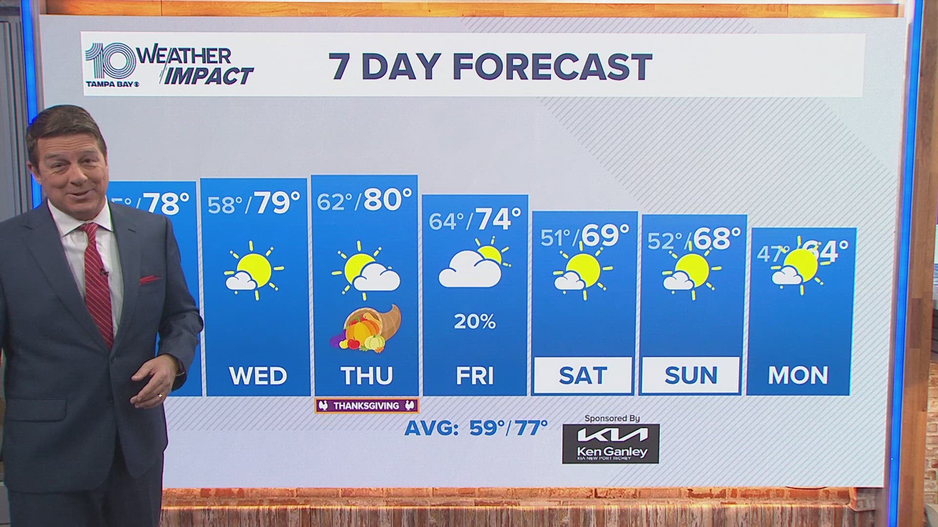
There is not a ton of rain in the forecast for the beginning of the week. However, rain chances will increase as the week goes on. Still, it's not going to improve drought conditions by much. Areas will be lucky to see a few tenths of an inch under any showers.


November typically does not bring much rainfall. In fact, it is the driest month in Tampa with less than two inches of rainfall on average.
Where do we go from here? The long-term forecast
Right now models are hitting that a typical El Niño winter pattern will set up by December into January bringing above-average rainfall. This is due to the subtropical jet and coastal low-pressure systems bringing an active pattern across the southeast. This makes sense given this winter will not only be El Niño but a strong El Niño.


The Climate Prediction Center also agrees. The three-month outlook shows high chances for above-average precipitation over the winter months.
Hopefully, that increase in rainfall for the winter will cut down on the fire danger as we head towards the spring.


