TAMPA, Fla. — In years prior, Tampa Bay residents could expect to lounge out at the beach or to wear shorts on Christmas, but not this year.
The Tampa Bay area experienced one of the coldest Christmases it has seen since 1989, a whopping 33 years ago, according to the National Weather Service.
According to the data from 1989, on Christmas Eve and Christmas, temperatures hit lows ranging from 27 to 32 degrees.
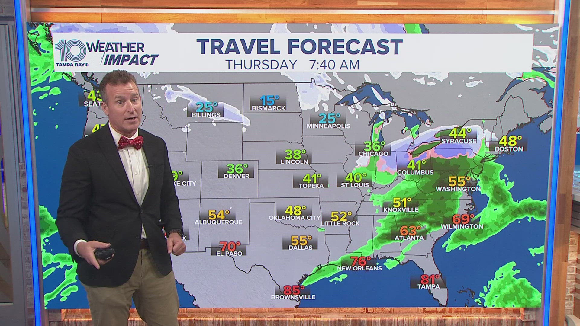
The cold temperatures can be blamed on a winter storm that's affecting most of the United States. The weather system, dubbed a “bomb cyclone,” has disrupted travel and has caused hazardous winter conditions.
As a front of cold air moved down from the Arctic, it sent temperatures plunging. The animation below shows the blast, which started Wednesday afternoon, moving across the United States, according to the Washington Post.
Much of the U.S. will see below-average temperatures, said Bob Oravec, lead forecaster for the National Weather Service in College Park, Maryland.
Bomb cyclones, as is the case with other storms, form due to contrasting air masses – one that’s very cold combined with another that’s very warm.
In the case of the current weather system, a large pool of extremely cold arctic air is colliding with warm, moist air coming from the Gulf of Mexico, said Jennifer Francis, Ph.D., senior scientist with the Woodwell Climate Research Center.
You’ve probably heard the word cyclone used before in reference to hurricanes. But a bomb cyclone and a hurricane aren’t the same things.
The differences lie in how the storms form and where they derive their energy, Francis explained. Bomb cyclones form in areas outside of the tropics, driven by air masses of different temperatures colliding and jet stream disturbances.
Hurricanes, on the other hand, form at low latitudes in the tropics and are driven by the heat content of the lower atmosphere and ocean. When warm water evaporates from the ocean and condenses to make clouds, it releases a lot of heat into the atmosphere. That heat is what drives a hurricane, Francis explained.
“The temperatures are the same, there’s lots of humidity, lots of moisture in the air, the ocean is very warm. They [hurricanes] only form over oceans, whereas the other kinds of storms form over land and ocean,” she said.
Luckily, forecasts show that temperatures will warm up starting Monday.
The Associated Press contributed to this article.


