ST. PETERSBURG, Fla. — It would be wise to get that last-minute Christmas shopping out of the way early today because another round of pre-frontal storms arrives this evening.
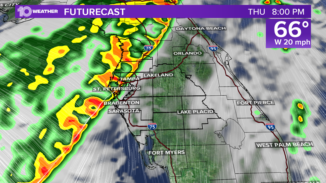
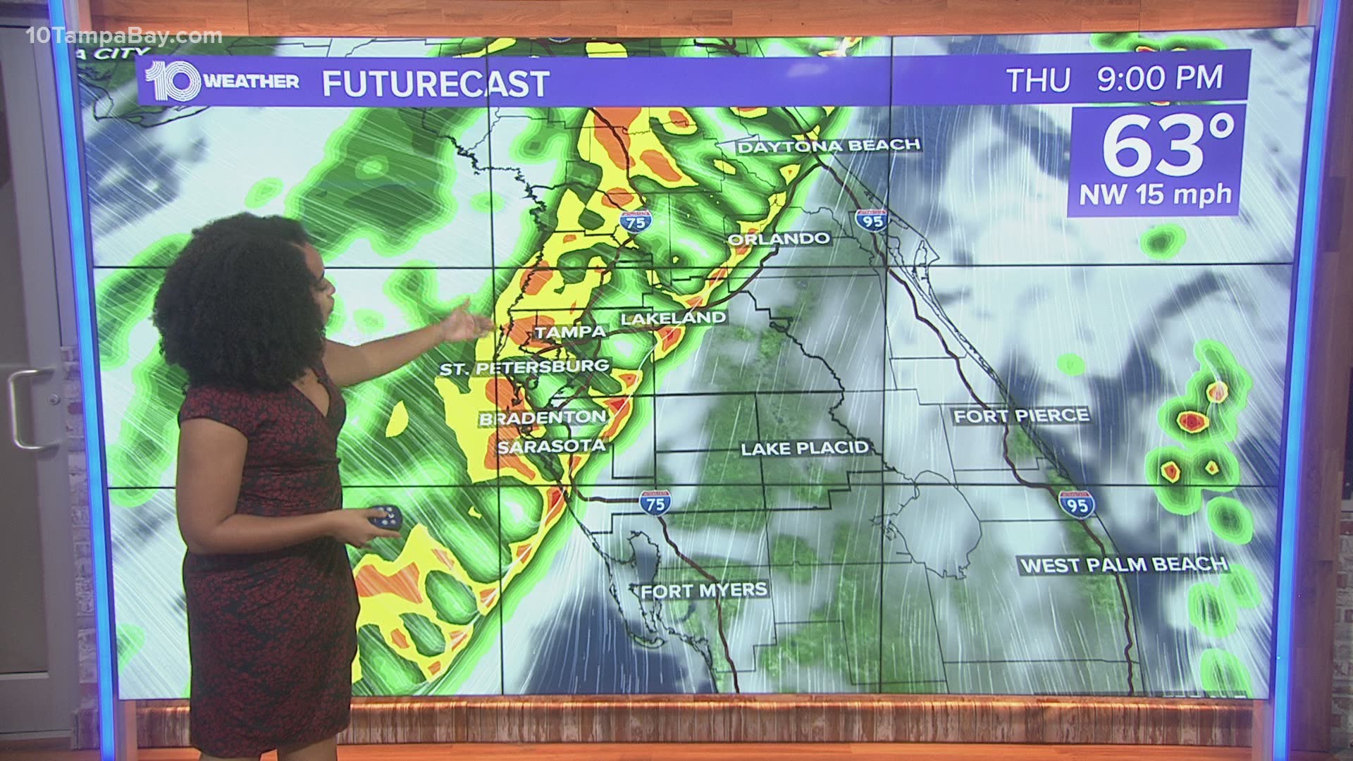
A strong storm system is currently pushing through the country, and a cold front off of it is producing a very organized line of showers and storms that will move through the Tampa Bay area later today.
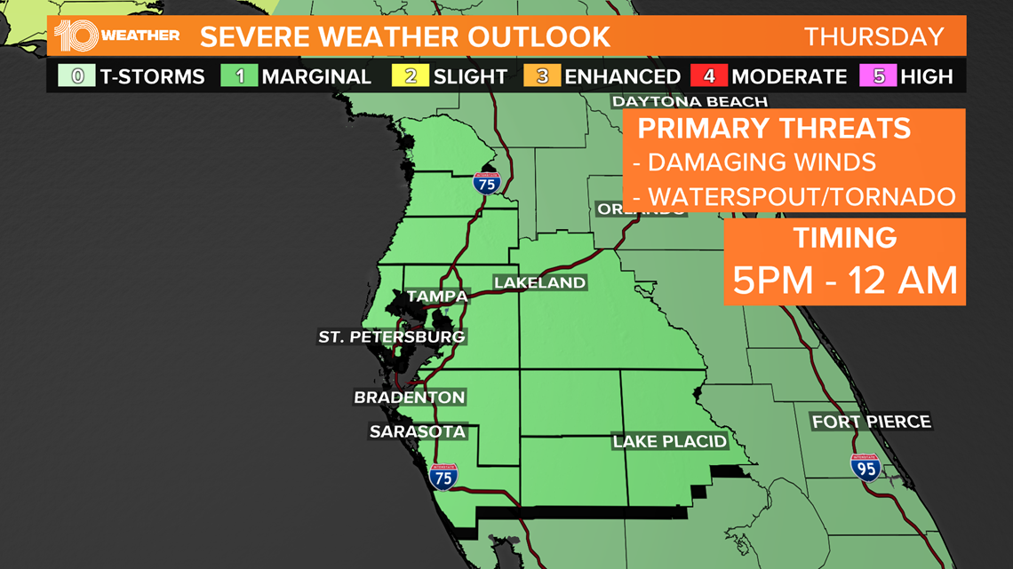
Although the threat is low, there is potential for some of these storms to reach severe criteria.
A high wind warning was issued Christmas Eve for the Sunshine Skyway Bridge. Drivers are being asked to use caution.


There is enough upper-level support to support strong and possibly damaging winds, and we can't rule out a waterspout or tornado. Because of that, the Storm Prediction Center has the entire Tampa Bay area at a "marginal" risk for severe weather this evening. The risk is relatively low, but at this point in the season, we should all know to stay aware when these types of systems roll in.


Timing-wise, the main line of storms will start rolling into the Nature Coast late this afternoon, then closer to the Tampa Bay area during the start of the evening. Abundant lightning and heavy downpours are also likely as the line moves through.
By Christmas morning, you can put those umbrellas away and pull that winter coat back out of the closet. Most of the rain will be well south of here by early morning. We'll see a mix of sun and clouds throughout the day, but the sunshine won't help much with warming us up.
Expect to see daytime highs only make it in the upper 50s Friday afternoon before overnight lows dip closer to the upper 30s/low 40s Friday night through Saturday morning.
Stay safe this evening, bundle up Christmas night, and enjoy the holiday.
►Breaking news and weather alerts: Get the free 10 Tampa Bay app
►Stay In the Know! Sign up now for the Brightside Blend Newsletter

