Life changed in a lot of ways in 2020. That was mostly because of the COVID-19 pandemic, but that was not all. NASA caught snapshots of some of the climate-related events that impacted our lives last year as well.
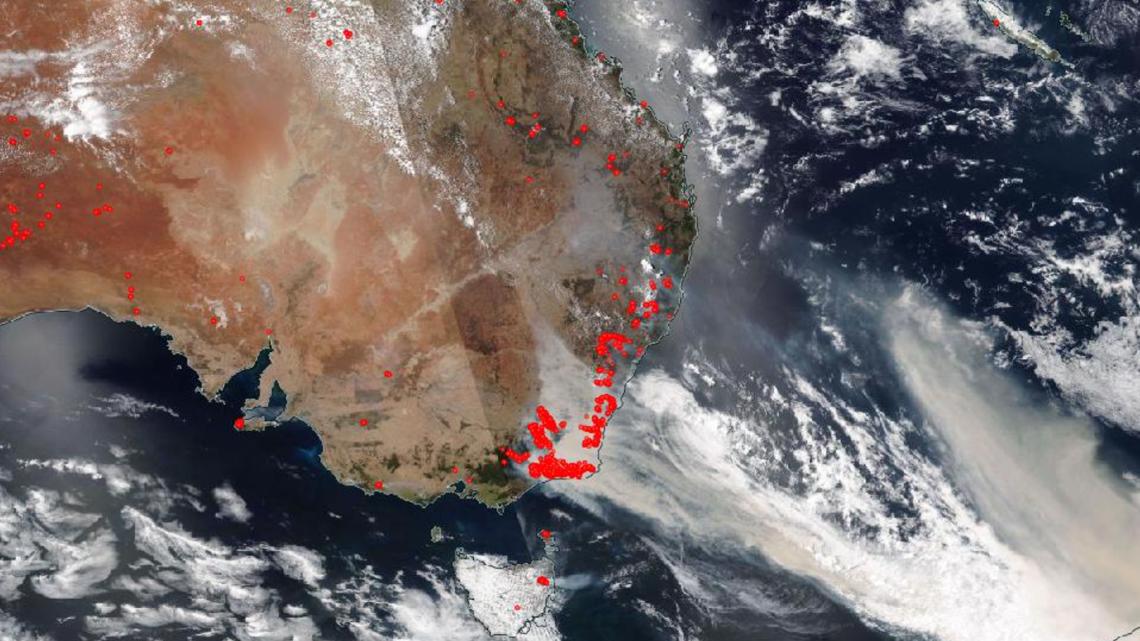
Last January, a massive string of wildfires burned throughout Australia, leading to wildlife losses so large authorities could barely keep count. Hot and dry conditions during the Australian summer made it especially tough for crews to fight the fires. A NASA satellite captured the thick smoke as it moved across the country.


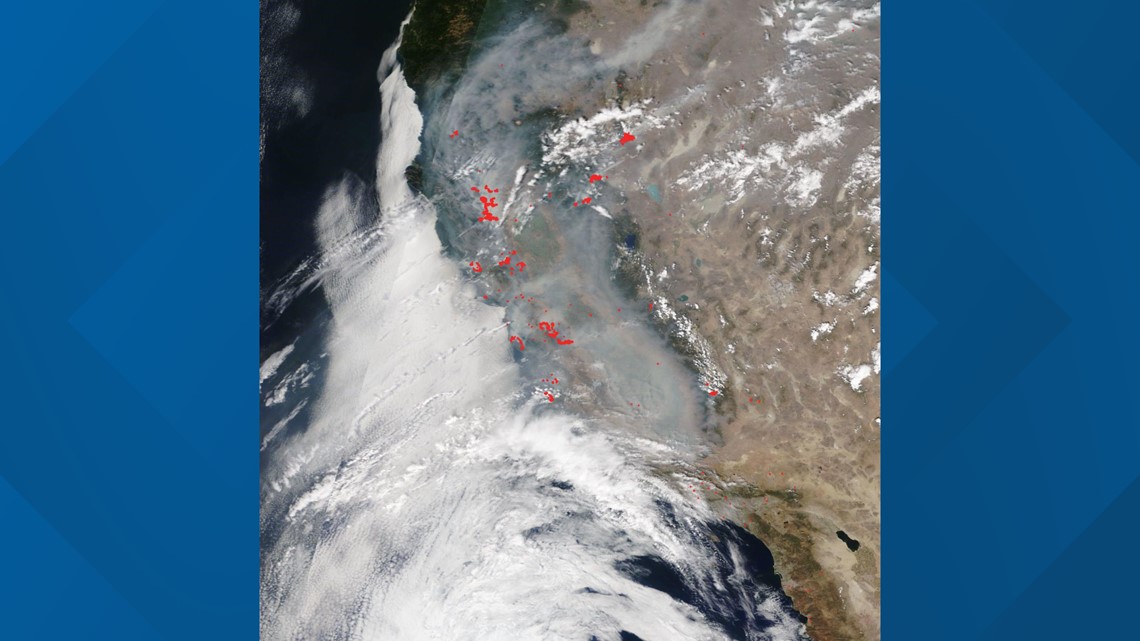
The US also saw a record-breaking wildfire season, especially along the west coast. Dozens of people were killed and thousands lost their homes or businesses. The fire season peaked in September when NASA took a snapshot showing the smoke in a significantly darker color than the clouds in the sky.


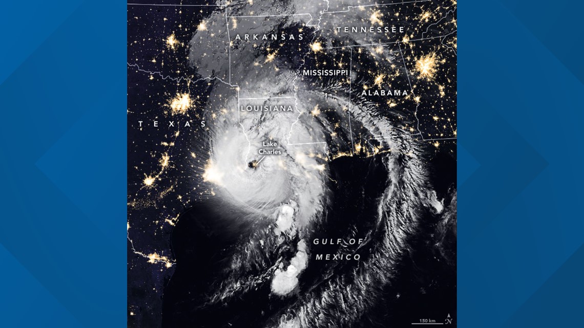
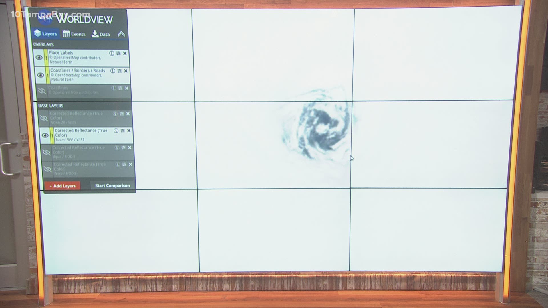
It wasn't just fires -- the 2020 Atlantic hurricane season also set records, including the most named storms with 30. Thirteen of those became hurricanes and six were major (Category 3 or higher). NASA's most imposing satellite image of a storm in 2020 came on Aug. 26, just two hours after Hurricane Laura made landfall on the Louisiana coastline. Laura's winds topped out at 150 MPH, and it reached 350 miles in diameter -- almost as long as the state of Louisiana at its longest.


- Your COVID-19 vaccine questions, answered: Do I need to be a Florida resident?
- Tampa International Airport reports flight delays amid FAA issue
- Tanya Roberts, 'That '70s Show' and Bond actress, dead at 65
- How to watch Alex Trebek's final 'Jeopardy!' episodes
- Read the full transcript of President Trump's call with Georgia's Sec. of State
- County-by-county COVID-19 vaccine information for Tampa Bay seniors
►Breaking news and weather alerts: Get the free 10 Tampa Bay app
►Stay In the Know! Sign up now for the Brightside Blend Newsletter

