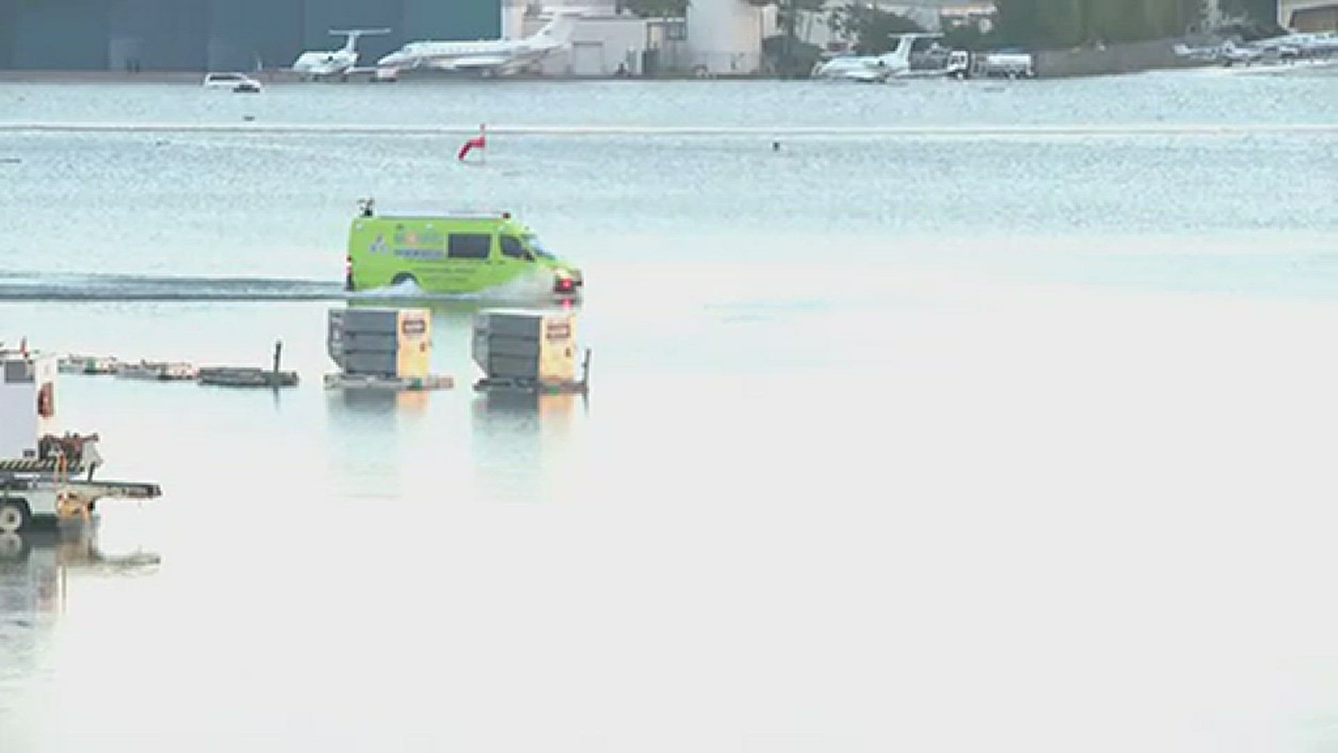
FORT LAUDERDALE, Fla. — Historic rainfall in Fort Lauderdale ignited a flash flooding emergency that the city has never seen before.
“What we are seeing here is a thousand-year incident,” Fort Lauderdale Mayor Dean Trantalis said at a news conference. “No city could have planned for this. No weather forecasting service could've warned us of this.”
Trantalis said every part of the city had been impacted.
NBC 6 reported that a "trigger" was behind Wednesday's territorial — and possibly Thursday's — downpour.
"The trigger moved through South Florida in the form of a cold front late Sunday and then stalled across the Florida Straights - close enough to us here in South Florida to generate lift in the atmosphere," the news outlet said in part.
"Strong high pressure to the north combined with the stalled front has created a conveyer belt for showers and storms to hop on and push inland from the Atlantic waters."
With a mixture of the right ingredients of heavy rain, climate change and a rising sea level, the risk for flooding is much higher in South Florida.
The United States Environment Protection Agency said the sea is rising about one inch every decade and heavy downpours and thunderstorms are becoming more severe.
"The tide is coming in and eventually it's not going to go back out," Dr. Harold Wanless, a Geologist and Professor of Geography and Sustainable Development at the University of Miami told CBS Miami.
"Climate change is real. This isn't something that might happen," he says. "The problem is, sea level is rising at an accelerating rate now because of ice melting in Greenland and Antarctica. So for now what is just a high tide - a rare high tide.. is going to become a frequent high tide," he says.
"So what does that mean for us? According to Dr. Wanelss's research, by the year 2060, nearly 60% of Miami-Dade county will be underwater."

