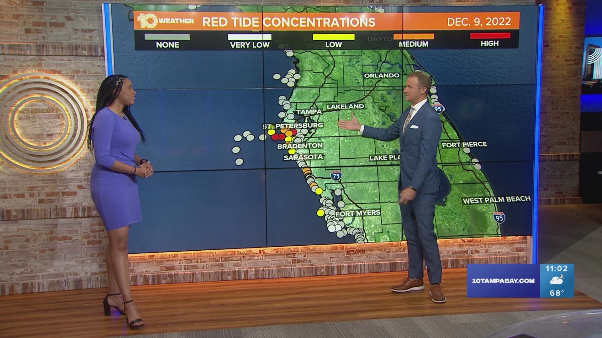
TAMPA, Fla. — If you live in the Tampa Bay area, you're probably familiar with red tide — and the droves of dead fish it brings ashore.
It's the harmful algal bloom that produces toxic chemicals that can cause respiratory illnesses in people and has serious and often deadly effects on marine life.
It's certainly not uncommon in Florida this time of year, but it doesn't mean you have to avoid the beach altogether.
Here are some tools to check the current red tide status at your local beach.
This map shows the levels of Karenia brevis, or the algae that causes red tide, based on samples collected statewide over the past eight days. It's updated daily and lets you see the details of the levels in your area by clicking on the individual dots.
The Florida Fish and Wildlife Conservation Commission publishes brief reports on the current conditions of red tide in the state. It gives you a quick glance at where red tide has recently been found and where it's showing in high or low concentrations.
Developed by NOAA, GCOOS and FWC, among others, this beach-level risk forecast lets beachgoers know what red tide impacts to expect at specific beaches at various times of the day.
The toxic chemicals released by red tide organisms can, unfortunately, cause fish and other marine life to die. The FWC says it's not a good idea to swim at the beach among dead fish. So, this tool allows you to search by county to see where fish kills have been reported.
There's no real way of knowing how long red tide will stick around in a certain area, but we do have scientists that use data to predict what the next few days will look like. This map shows red tide predictions and tracking for the Tampa Bay region for the next 4-5 days.
Mote Marine Laboratory provides up-to-date information about respiratory irritation and dead fish from red tide at local beaches. This interactive map allows you to see when instances of red tide have been reported at different area beaches.
More information about red tide can be found on the FWC website.

