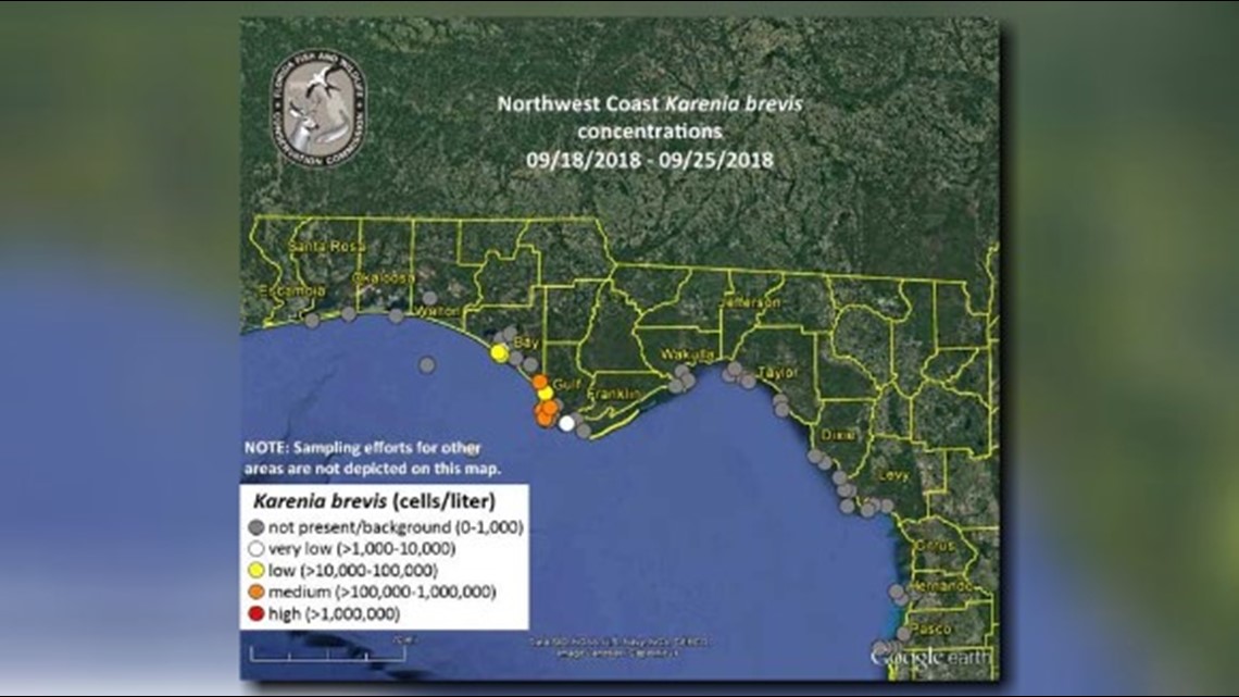
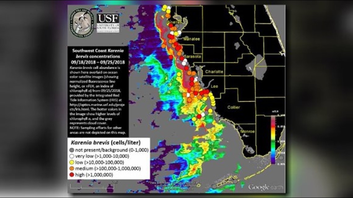
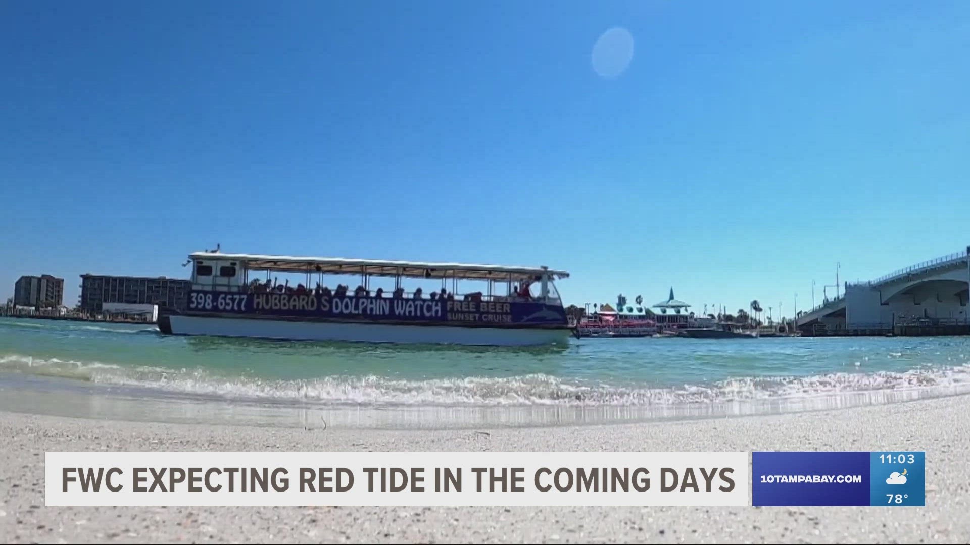
A new map released Wednesday by the Florida Fish and Wildlife Conservation Commission showed little change in the bloom of the state's red tide organism, which is still affecting roughly 135 miles of the southwestern coast -- along with an additional patchy section off the Panhandle.
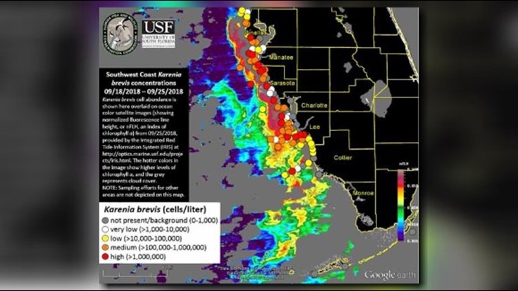
Red tide concentrations increased in Sarasota and Lee counties in the last week. High concentrations of red tide were found in and offshore of Pinellas, Manatee, Sarasota, Charlotte, and Lee counties. They were also found more than 20 miles offshore of Collier County.
In the northwest part of the state, concentrations increased in Gulf County while decreasing in Bay and Pasco counties. Medium concentrations were found from eastern Bay to Gulf County.
Forecasters expect Southwest Florida's bloom will move slightly to the south and southwest in the next three days, while northwest Florida will see a slight eastern movement of the red tide bloom.
View the latest red tide maps below. If you're having trouble seeing them, click here.


►Make it easy to keep up-to-date with more stories like this. Download the 10News app now.
Have a news tip? Email desk@wtsp.com, or visit our Facebook page or Twitter feed.


