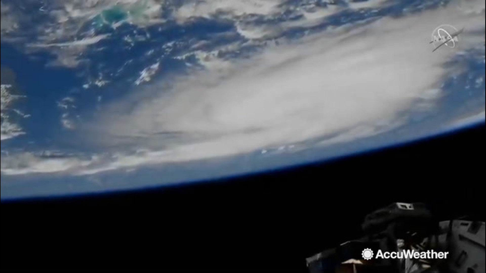
As Hurricane Dorian rumbles toward the east coast of Florida for what is likely a Sunday landfall, the International Space Station is getting a unique view of how big the storm is.
Cameras on the ISS recorded video of Dorian at 1:05 p.m. ET Thursday as it churned over the Atlantic Ocean north of Puerto Rico.
The National Hurricane Center said Thursday night the Category 2 storm is expected to strengthen into a potentially catastrophic Category 4 with winds of 130 mph and slam into the U.S. on Monday somewhere between the Florida Keys and southern Georgia — a 500-mile stretch that reflected the high degree of uncertainty this far out.
The National Hurricane Center's projected track had the storm blowing ashore midway along the Florida peninsula, southeast of Orlando and well north of Miami or Fort Lauderdale. But because of the difficulty of predicting its course this far ahead, the "cone of uncertainty" covered nearly the entire state.
Forecasters said coastal areas of the Southeast could get 5 to 10 inches (13 to 25 centimeters) of rain, with 15 inches (38 centimeters) in some places, triggering life-threatening flash floods.
Also imperiled were the Bahamas, with Dorian's expected track running just to the north of Great Abaco and Grand Bahama islands.
Dorian rolled through the Virgin Islands and Puerto Rico as a Category 1 hurricane on Wednesday.
The initial blow did not appear to be as bad as expected in Puerto Rico, which is still recovering from the devastation wrought by Hurricane Maria two years ago.
The hurricane season typically peaks between mid-August and late October. One of the most powerful storms ever to hit the U.S. was on Labor Day 1935. The unnamed Category 5 hurricane crashed ashore along Florida's Gulf Coast on Sept. 2. It was blamed for over 400 deaths.


