TAMPA, Fla. — A powerful Gulf storm that hit Florida like a tropical system brought heavy rainfall and contributed to a significant amount of coastal flooding Sunday morning.
Gusty winds and heavy downpours brought in peak storm surge values around 3 feet tall across Tampa Bay counties, according to the National Weather Service. The water levels were reportedly about 1-2 feet lower than Hurricane Idalia.
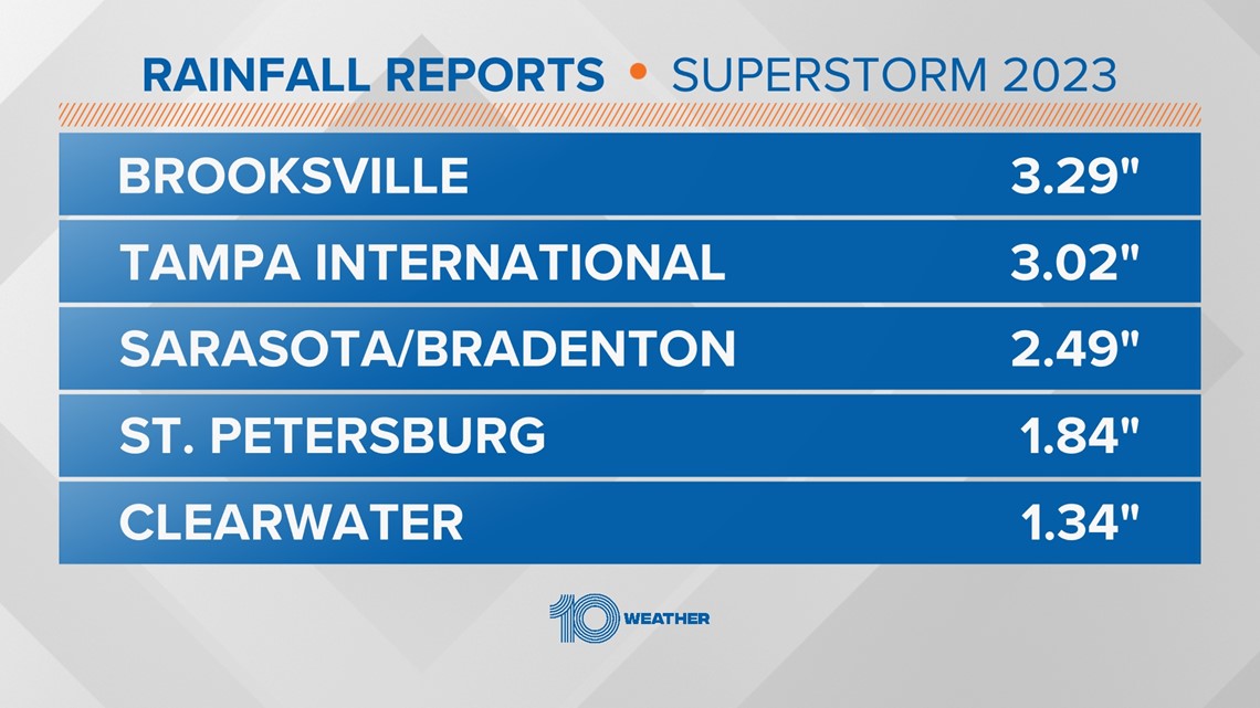
While storm surge blasted through the region, rainfall reports were above 3 inches in specific parts of the Tampa Bay area while other areas saw only above 1 inch of rain.
Here's a breakdown of rainfall amounts across Tampa Bay:
- Brooksville: 3.29 inches
- Tampa: 3.02 inches
- Sarasota/Bradenton: 2.49 inches
- St. Petersburg: 1.84 inches
- Clearwater: 1.34 inches
Water has peaked or crested at 5 a.m. and will continue to slowly fall during the day. As the potent area of low pressure moves away, it will remain windy with clearing skies this afternoon.


Significant beach erosion is likely following the rain levels that the region saw over the past 24 hours, but conditions are set to improve into the week, according to the NWS.
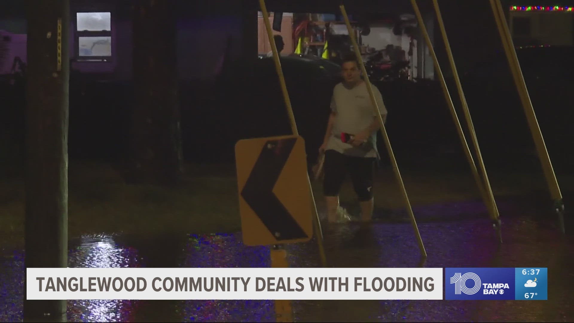
Specifically in Tampa, heavy overnight rains brought flooding to a portion of Bayshore Boulevard from Platt Street to Bay to Bay Boulevard and adjoining side streets, the Tampa Police Department explains in a news release.
According to the agency, the Courtney Campbell Causeway at Rocky Point Boulevard also had standing water.
The Shores Acres neighborhood in St. Petersburg saw significant flooding as well.
Correction: This story has been updated to reflect rainfall totals in inches.

