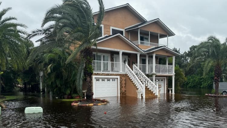
TAMPA, Fla. — Hurricane Milton is expected to bring deadly levels of storm surge at 10 to 15 feet and between 5 to 12 inches of rain to Tampa as it nears landfall late Wednesday night into Thursday morning.
Flash, urban, and areal flooding are all expected for the Tampa Bay region.
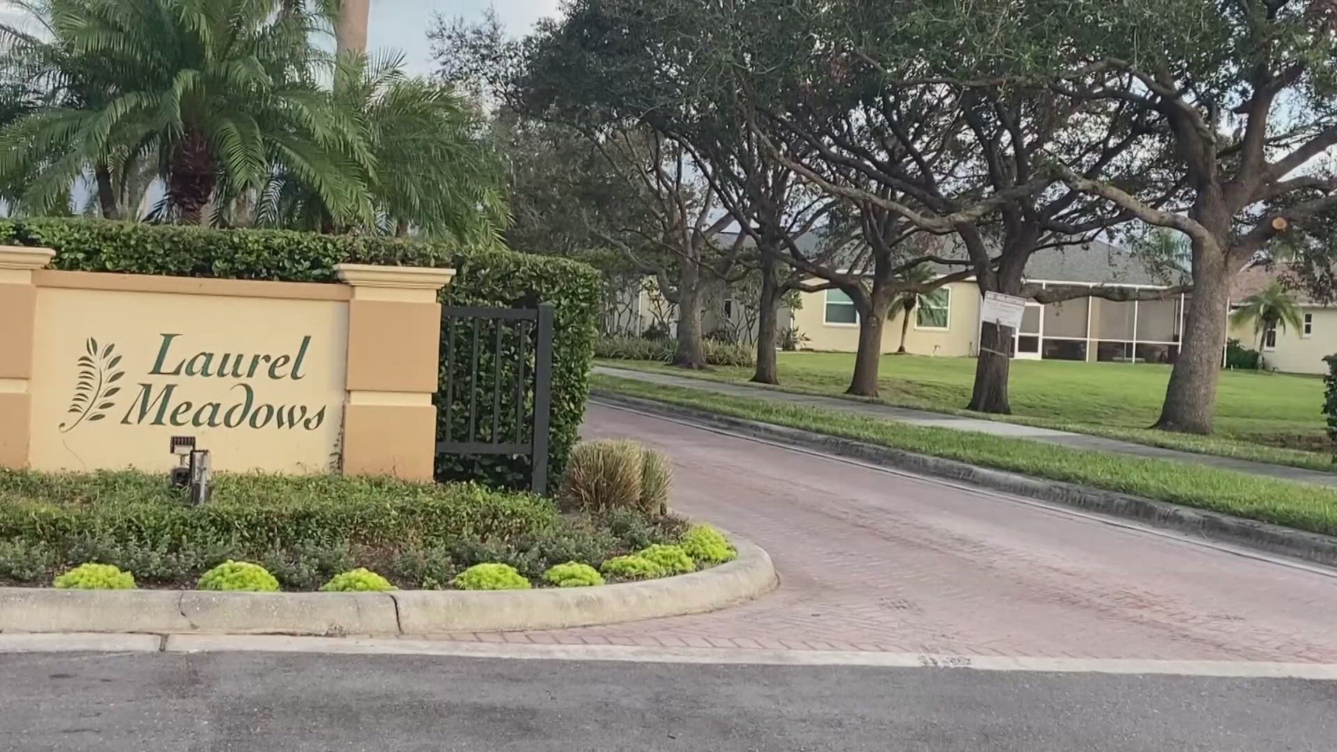
The area was still in the process of recovering from a record-breaking storm surge after it was grazed by Hurricane Helene just 2 weeks earlier. St. Petersburg, Old Port Tampa, Clearwater, East Bay, Port Manatee, and Cedar Key all had new records set by Helene's surge.
The area is now facing a disaster scenario as a direct hit from a Cat 4 hurricane looms.
See your Florida home's elevation
Tampa residents and Floridians throughout the state can get a better idea of how at-risk their homes are ahead of the storm surge with the United States Geological Survey's interactive topographical map "TopoView". The map shows both current and historical maps and is full of enhancements based on hundreds of user comments and suggestions, USGS said on the website.
To see a specific location's elevation, interested users can enter their address in the map's search bar and click the "spot of elevation" mountain icon at the bottom of the screen to get an elevation reader. For example, the map shows Tampa General Hospital at a 9-foot elevation.

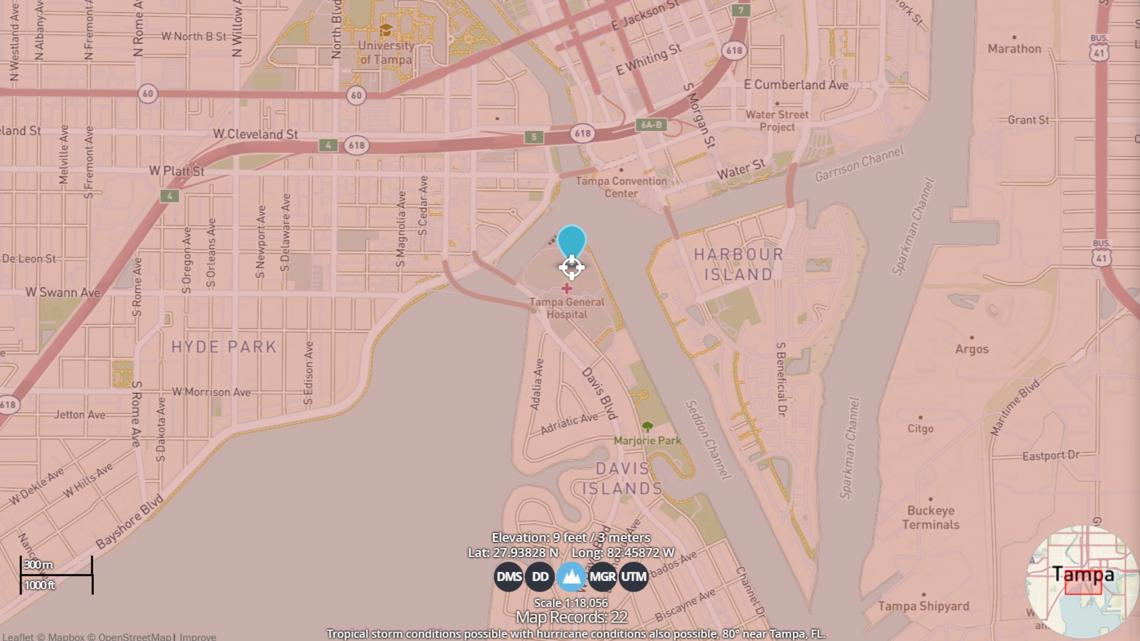
"This mapping was done at different levels of detail, in order to support various land use and other purposes. As the years passed, the USGS produced new map versions of each area," the survey said.